Summer 2015
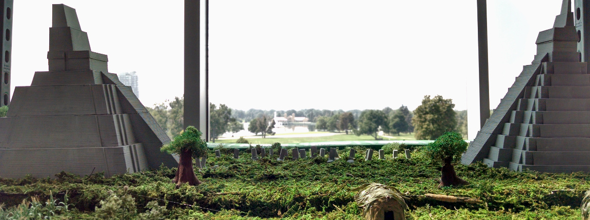
As a part of CU Boulder's Grand Challenge, I helped design a system for demonstrating how terrain can be measured, mapped, and reconstructed using photogrammetry. I automated the process of getting users' emails through a simple html5 form, separating each users' picture set by checking when they took the picture against when they completed the html5 form, sending the pictures to Agisoft Photoscan to create the 3D models, and sending the models to the respective users.
You can learn more about the project here.